


Mis Favoritos
Guarda aquí las embarcaciones que te enamoran y con las que quieres navegar sin fin.
 3'
3'
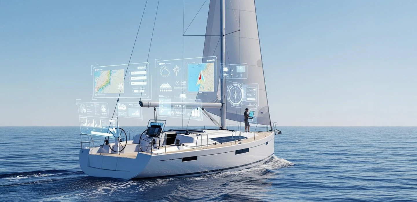
En una era dominada por pantallas táctiles, GPS de alta precisión y apps náuticas que te ubican al instante, muchos se preguntan:
¿Sigue teniendo sentido aprender a navegar con carta y compás?
La respuesta corta es: sí, más que nunca. Y en este artículo te explicamos por qué estas herramientas tradicionales siguen siendo fundamentales para cualquier navegante serio — y cómo combinarlas con la tecnología moderna para mejorar tu seguridad y autonomía en el mar.
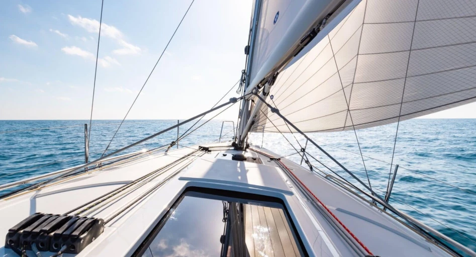
Es el método clásico de navegación en el que te ubicas y trazas tu rumbo utilizando:
Carta náutica: El “mapa” del mar, con profundidades, peligros, ayudas visuales y coordenadas.
Compás de marcación o de puntas: Para medir ángulos y rumbos sobre la carta.
Herramientas como regla náutica, transportador y lápiz: Para trazar líneas de rumbo, estimar posiciones y distancias.
Este sistema, también llamado navegación costera o tradicional, fue durante siglos la única forma de orientarse en el mar.
Baterías agotadas, fallos del GPS, pantallas mojadas o dañadas.
¿Y si se va la luz? ¿Y si tu móvil cae al agua?
Saber usar una carta es tu plan B esencial.
Aprender con carta y compás te obliga a pensar: analizar corrientes, viento, peligros, márgenes de seguridad.
Te vuelves un navegante más consciente y preciso, incluso usando tecnología.
En España, por ejemplo, los títulos como el PER, Patrón de Yate o Capitán de Yate incluyen ejercicios con cartas.
No puedes aprobar sin dominar lo básico.
Saber ubicarte sin depender de un dispositivo digital te da una sensación de control muy valiosa.
Puedes tomar decisiones más inteligentes si la ruta no va según lo previsto.
En travesías cortas o zonas con cobertura irregular, la carta te permite planificar rutas seguras y alternativas.
Puedes estimar posiciones, identificar puntos notables y prever fondeaderos seguros.
No se trata de elegir uno u otro, sino de combinarlos inteligentemente:
| Carta y compás | GPS y apps |
|
|
Lleva siempre una carta actualizada a bordo.
Haz ejercicios simples: ubica tu posición, traza un rumbo, mide distancias.
Usa el compás para marcar referencias costeras.
Si usas apps como Navionics o OpenCPN, compara la ruta con la carta en papel.
Aunque hoy disponemos de increíbles herramientas digitales, navegar con carta y compás sigue siendo una habilidad insustituible. Te convierte en un navegante más completo, más seguro y preparado para lo inesperado.
Así que la próxima vez que subas a bordo, no dejes la carta en el fondo del cajón. Úsala. Practica. Y recuerda: el mejor navegante no es el que más tecnología lleva, sino el que mejor sabe orientarse, incluso con lo básico.
Si estás empezando a navegar con carta y compás, te recomendamos también leer Cómo leer una carta náutica: claves para no perder el rumbo, donde explicamos paso a paso cómo interpretar cada elemento de la carta para que tu navegación sea aún más segura y precisa.
Acceso VIP
al mundo náutico
Suscríbete y sé el primer@ en conocer ofertas, pruebas de mar y eventos exclusivos. Contenido útil y directo para navegantes exigentes.
Sin spam. Puedes darte de baja cuando quieras.